
ISRO commences countdown for the launch of its navigation satellite
By MYBRANDBOOK

On 28th May, Indian Space Research Organisation (ISRO) scientists started the 27.5 hour countdown for the launch of a navigation satellite on board a GSLV rocket here on May 29.
ISRO is all set to launch the second-generation navigation satellite series. It is a very important launch which would ensure the continuity of NavIC (Navigation with Indian Constellation) services -- an Indian regional satellite navigation system, similar to GPS, providing accurate and real-time navigation in India and a region extending to 1,500 km around the mainland.
In order to provide accurate user position to better than 20-metres and timing accuracy better than 50 nanoseconds, the NavIC signals are designed.
The 51.7 metre tall Geosynchronous Satellite Launch Vehicle, on its 15th flight, would carry the navigation satellite NVS-01 weighing 2,232 kg on Monday at 10.42 am from the second launch pad at the Satish Dhawan Space Centre (SHAR) here, about 130 km from Chennai.
The rocket is scheduled to deploy the satellite almost 20 minutes after the flight in a geosynchronous transfer orbit (GTO) at an altitude of about 251 km, ISRO said.
The NVS-01 carries navigation payloads L1, L5 and S bands and in comparison with the previous one, the second-generation satellite would also carry an indigenously developed rubidium atomic clock.
It is for the first time that an indigenously developed rubidium atomic clock would be used in Monday's launch, ISRO said.
The Navigation with Indian Constellation (NavIC) system has been built by ISRO so that it can meet the positioning, navigation and timing requirements of the country, particularly with regard to civil aviation and military requirements. NavIC was earlier known as the Indian Regional Navigation Satellite System (IRNSS).
"The L1 navigation band is popular for providing position, navigation and timing services for civilian users and for interoperability with other GNSS (global navigation satellite system) signals," ISRO said.
Some of the applications of NavIC include terrestrial, aerial and maritime navigation, precision agriculture, location-based services in mobile devices and marine fisheries, among many others.
NavIC is designed with a constellation of seven satellites and a network of ground stations that operate 24x7. NavIC offers two services -- Standard Position Service (SPS) for civilian users and Restricted Service for strategic users.
NavIC SPS signals are interoperable with the US global navigation satellite system signals, GPS, Glonass from Russia, Galileo (European Union) and BeiDou, China.
Monday's mission is the sixth operational flight of the GSLV with indigenous cryogenic stage. The mission life of NVS-01 is expected to be better than 12 years, ISRO said.


The latest version of X helps prevent deepfakes on social medi
To combat deepfakes and shallowfakes, Elon Musk revealed a new update t...

India and Namibia collaborate on a payment system similar to U
Once operational, the platform will enable digital transactions in Namibia,...

Sebi issues show-cause notices to six Adani group firms
Sebi issued show-cause notices to six Adani Group firms, including Adani ...

Microsoft to build a new data centre to support Thailand's tec
Microsoft has revealed intentions to construct a regional data centre as w...


Airtel Xstream Play strengthens regional content library, part
Bharti Airtel (“Airtel”), one of India’s leading telecommunications

ED attaches Raj Kundra, Shilpa Shetty’s Rs 97 crore worth as
The Enforcement Directorate (ED) has seized businessman Raj Kundra's pro

UiPath ropes in Raghu Malpani as Chief Technology Officer
UiPath has announced Raghu Malpani as Chief Technology Officer. Malpani w

DigiCert names Atri Chatterjee as CMO
DigiCert has announced the appointment of Atri Chatterjee as Chief Market


IceWarp positioning itself as a disruptor in the Email and col
Post pandemic, the digital evolution has evolved. With most organizations a

ETEK building a cybersecurity aware community
ETEK is a Global Managed Security Services expert with 30 years of experien

COLORFUL rolls out an array of gaming laptops
COLORFUL launched its incredible series of COLORFUL EVOL P15 gaming laptop

Dell Technologies launches new AI-powered commercial PC portfo
Dell Technologies has launched the broadest portfolio of commercial AI lap


LUMINOUS POWER TECHNOLOGIES PVT. LTD.

DIGISOL SYSTEMS LTD.

AMARA RAJA POWER SYSTEMS LTD.

INFOSYS TECHNOLOGIES PVT. LTD.


Technology Icons Of India 2023: Byju Raveendran
Byju Raveendran is the founder of edutech start-up Byju’s. Raveendra...
Technology Icons Of India 2023: Lt Gen (Dr.) Rajesh Pant (Retd.)
LT Gen(Dr.) Rajesh Panth (Retd.), National cyber security coordination...
Technology Icons Of India 2023: Madhabi Puri Buch
Madhabi Puri Buch is the chairperson of the securities regulatory body...


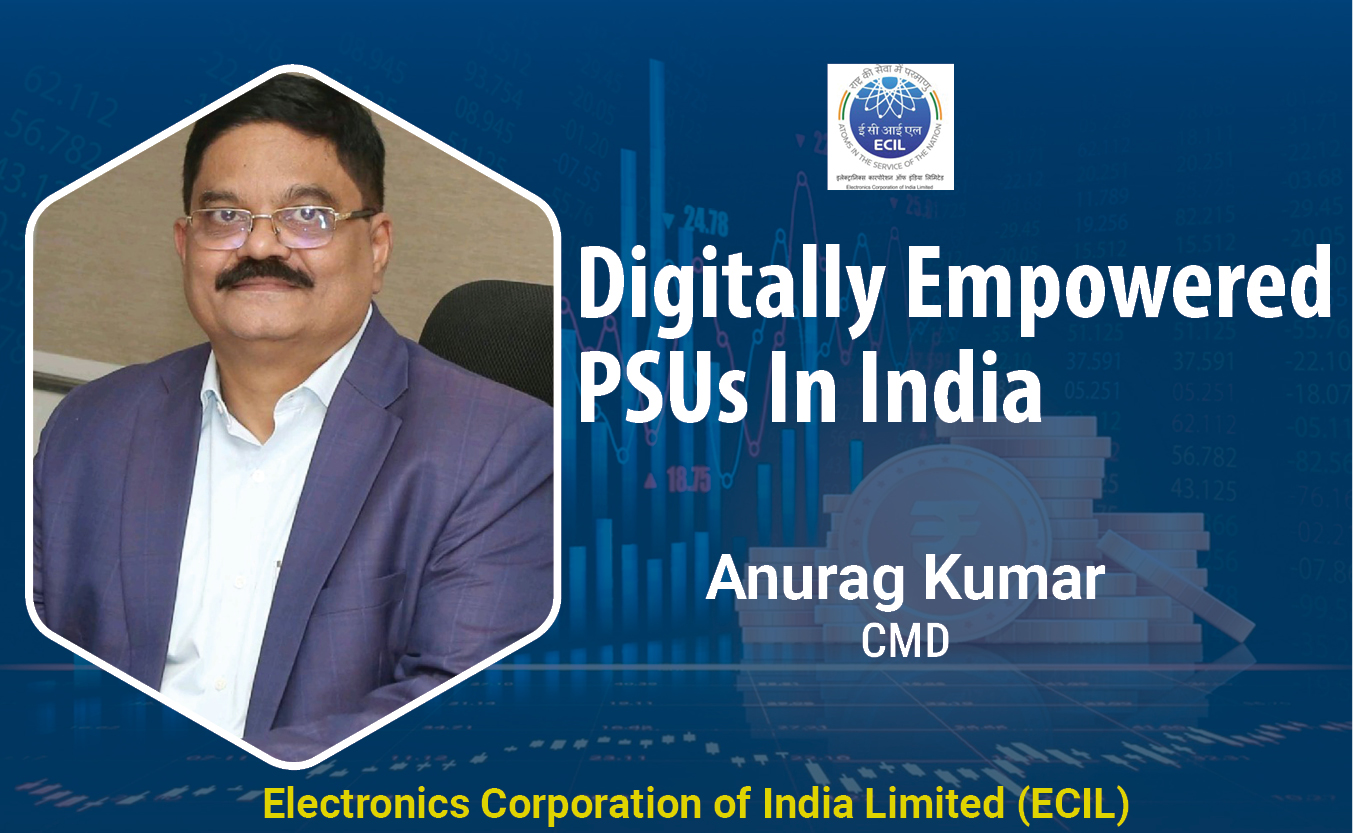
ECIL continues to keep India ahead in the growth of Information Technology and Electronics
ECIL played a very significant role in the training and growth of high...

Leading company into fertilizers in the country
NFL is a dynamic organization committed to serve the farming community...
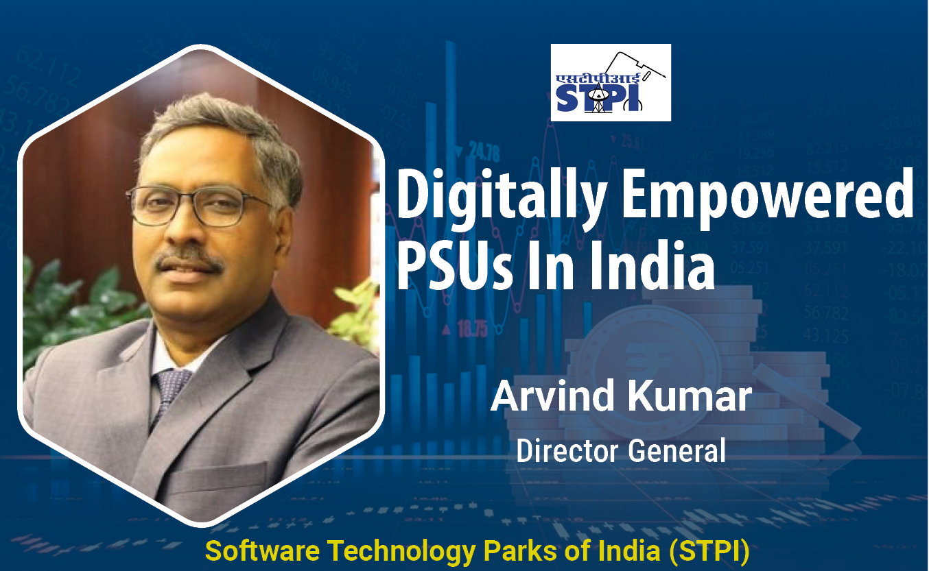
STPI encouraging software exports from India
Software Technology Parks of India (STPI) is an S&T organization under...


ACCERON INFOSOL PVT. LTD.
It is a leading value added distributor in the IT security space and h...

INFLOW TECHNOLOGIES PVT. LTD.
Inflow Technologies is a niche player in the IT Infrastructure Distrib...

BEETEL TELETECH LTD.
: Beetel is one of the oldest and most reputed brands in the Industry,...


 Limited")