
Pramod Kumar Mohapatra, Commissioner (Systems) - Delhi Development Authority
By MYBRANDBOOK
 - Delhi Development Authority")
|
Harnessing the Potential of Technology to Improve the Performance of Road/Highway Projects
Key Priorities Once built, infrastructure enters the longest phase of its life, often an assumed perpetuity: roads, rail, waterways and docks are examples of what we assume will be continuously maintained and updated. For this phase, infrastructure assets are inspected against an asset database that can also be the foundation of upgrade work in future decades. Commitment The four key stages of infrastructure – planning, designing, building, maintaining – all happen “somewhere.” “Somewhere” is often important to citizens and consumers. “Somewhere” is critical to the service delivery organizations. The question is not whether Infrastructure can benefit from automated technologies, but how Infrastructure can be further enhanced using advanced and multiple technologies to improve public services.
Geospatial technology are beneficial during Project Preparation stage including Alignment selection, Land use pattern for Preparation of Environmental Impact Assessment (EIA) and Environmental Management Plan (EMP), Forest / Wildlife clearance proposals, Land Acquisition – Superimposition of the alignment on Cadastral (revenue) map and finalization of land acquisition plans including Compensation calculations, Preparation of preliminary Digital Elevation Model (DEM) and vertical profile creation including preliminary cut and fill calculation, Identification of land for wayside amenities, Deciding locations of Pedestrian Underpass / Vehicular Underpasses / Service Roads based on connectivity / alternative routes to villages / town and depth of development, Monitoring encroachments in ROW, Monitor progress of road construction activity at regular intervals using multi temporal high resolution satellite data for the identified stretches , Bhuvan geoportal as platform to visualize and monitor the progress of projects. Light Detection and Ranging (LiDAR) technology to bring more accuracy and speed in preparation of feasibility / DPR works to ensure timely decision on alignments, designs and accurate delivery of Highway projects. Unmanned Ariel Vehicle (UAV) Technology can provide valuable contribution in topographic survey and inventory related activities. The Scanning Total Station provides the innovative solution for surveying, engineering, and scanning. The Internet of Things(IoT) Platform is meant to provide milling and paving equipment manufacturers and the end-user contractors with analytics and reports about various aspects of their tasks and assets, in order to enhance the decision-making process and obtain the best possible management of resources, fleets and personnel. Construction is “the land of disputes” the majority of which are inextricably connected with payments. The Blockchain technology could function as a trustworthy contract administrator by introducing an error-free process based on which the contracts would be both built and monitored. A smart contract is nothing more than a digital protocol built within the Blockchain network in order to implement the conditions of a contract. Every node is containing all the necessary information about the contractual agreement and the conditions under which the contract will be regarded as completed. Smart contracts can help the construction industry to get rid of intermediary parties (eg lawyers) as they function under the if/then concept. If a bricklayer is done with building the wall, then he asks for it to be inspected. If the inspection is successful then the bricklayer is paid. Smart contracts can cover these if/then schemes. They can be registered on the Blockchain and crypto currency can be used in order for these contracts to be collateralized. In a nutshell, more direct transactions can be encouraged through smart contracts. The Blockchain could boost collaboration and transparency with the use of bitcoin for construction. Despite substantial investments in innovation, the construction industry is struggling to reap the full benefits of advanced data and analytics, drones, automation and robotics.
India has one of the largest road networks of over 52.32 lakh km. It comprises National Highways, Expressways, State Highways, Major District Roads, Other District Roads and Village Roads. Total length of National Highways in India is over 1, 15,000 km. National Highways are 2% but carry 40% of the traffic. Once built, infrastructure enters the longest phase of its life, often an assumed perpetuity: roads, rail, waterways and docks are examples of what we assume will be continuously maintained and updated. |


Legal Battle Over IT Act Intensifies Amid Musk’s India Plans
The outcome of the legal dispute between X Corp and the Indian government c...

Wipro inks 10-year deal with Phoenix Group's ReAssure UK worth
The agreement, executed through Wipro and its 100% subsidiary,...

Centre announces that DPDP Rules nearing Finalisation by April
The government seeks to refine the rules for robust data protection, ensuri...

Home Ministry cracks down on PoS agents in digital arrest scam
Digital arrest scams are a growing cybercrime where victims are coerced or ...


Hrithik Roshan to endorse RuPay as Brand Ambassador
RuPay is reportedly planning to feature Bollywood superstar Hrithik Rosha

India Today Group launches – AI Pop Stars
Staying true to our industry leadership position in using cutting-edge tech

TelioLabs ropes in Phaniraj V A as the Group CEO
TelioLabs has announced the onboarding of Phaniraj V A as its new Group CE

Wipro Appoints Amit Kumar as Managing Partner and Global Head
Wipro Limited (NYSE: WIT, BSE: 507685, NSE: WIPRO), a leading technology s


Bolstering its commitment to help build a truly self-reliant B
CP PLUS is dedicated to spreading a sense of security to every corner of In

Delivering Critical Business Communication Solutions to Enterp
Arya Omnitalk and Syntel’s comprehensive suite of solutions and more than

MSI Announces the availability of RTX 50 series of laptops in
MSI, the innovative computing manufacturer in gaming, creator
 goes on sale today, starting at Rs 19,999")
Nothing Phone (3a) goes on sale today, starting at Rs 19,999
The phone was launched on March 4, featuring a 50MP main, ultra-wide, and t

DELL TECHNOLOGIES INDIA PVT. LTD.
PRAMA HIKVISION INDIA PRIVATE LIMITED
STERLITE TECHNOLOGIES LTD.

LAVA INTERNATIONAL LTD.


Icons Of India : Daisy Chittilapilly
Daisy Chittilapilly is the President of Cisco’s India and SAARC regi...
ICONS OF INDIA : VINAY SINHA
Vinay Sinha is the Managing Director of Sales for the India Mega Regio...
Icons Of India : RAJENDRA SINGH PAWAR
Rajendra Singh Pawar is the Executive Chairman and Co-Founder of NIIT ...


PFC - Power Finance Corporation Ltd
PFC is a leading financial institution in India specializing in power ...
ECIL - Electronics Corporation of India Limited
ECIL is distinguished by its diverse technological capabilities and it...
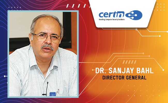
CERT-IN - Indian Computer Emergency Response Team
CERT-In is a national nodal agency for responding to computer security...


Indian Tech Talent Excelling The Tech World - PADMASREE WARRIOR, Founder, President & CEO - Fable
Padmasree Warrior, the Founder, President, and CEO of Fable, is revolu...
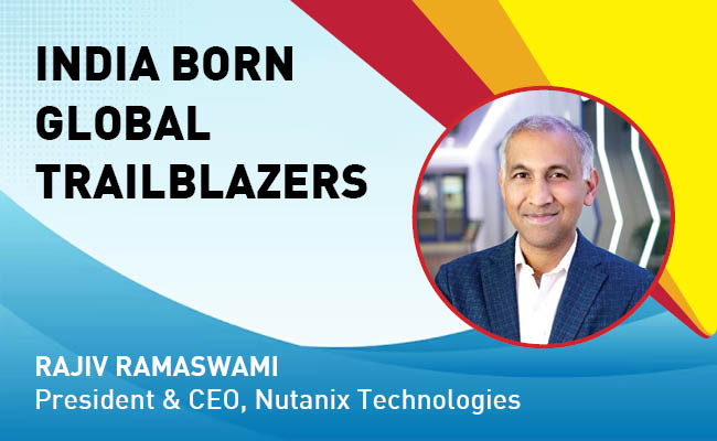
Indian Tech Talent Excelling The Tech World - Rajiv Ramaswami, President & CEO, Nutanix Technologies
Rajiv Ramaswami, President and CEO of Nutanix, brings over 30 years of...

Indian Tech Talent Excelling The Tech World - Steve Sanghi, Executive Chair, Microchip
Steve Sanghi, the Executive Chair of Microchip Technology, has been a ...


 of images belongs to the respective copyright holders