

Google Maps to guide users with COVID-19 travel related restrictions
By MYBRANDBOOK

Google Maps, apart from alerting its users about COVID-19 related travel instructions has also come up with a new feature. The feature will help the users plan their trips in a better way by maintaining social distancing norms.
The users will also be notified about places that are crowded which include public transports, medical checkpoints and other important places. The new feature will help avoid going to crowded places. Interestingly, the new feature also comes at a time when governments around the world are making a calibrated exit from the Covid-19 lockdown and reopening cities as well.
Talking about how this new feature works, when users will look for public transit directions, they will receive "relevant alerts" from transit agencies about the precautions they need to take while travelling, for instance, wearing a face mask. Furthermore, if a public transit line is temporarily closed or remains suspended; users will get a heads-up about that as well.
“Getting from A to B can be more complicated these days. Because of COVID-19, it’s increasingly important to know how crowded a train station might be at a particular time or whether the bus is running on a limited schedule. Having this information before and during your trip is critical for both essential workers who need to safely navigate to work and will become more important for everyone as countries around the world begin to reopen,” Ramesh Nagarajan, Product Management Director at Google Maps, said in a blog post.
The feature will be made available to both Android and iOS users. It will be rolled out in countries including Argentina, Australia, Belgium, Brazil, Colombia, France, India, Mexico, Netherlands, Spain, Thailand, United Kingdom and the US, Nagarajan said in the blog post. Google Maps will share relevant information from local transit agencies when users look for directions that are likely to be restricted due to COVID-19.
“When you look up public transit directions for a trip that is likely to be affected by COVID-19 restrictions, we’ll show relevant alerts from local transit agencies. These alerts can help you prepare accordingly if government mandates impact transit services or require you to wear a mask on public transportation. Transit alerts are rolling out in Argentina, Australia, Belgium, Brazil, Colombia, France, India, Mexico, Netherlands, Spain, Thailand, United Kingdom and the U.S. where we have information from local transit agencies, with more coming soon,” the blog post read.
Besides, Google Maps is also introducing a driver alert feature to let users get notified about Covid-19 checkpoints and restrictions in the route when crossing national borders. According to Google, this feature will be first rolled out in Canada, Mexico and the US.


Legal Battle Over IT Act Intensifies Amid Musk’s India Plans
The outcome of the legal dispute between X Corp and the Indian government c...

Wipro inks 10-year deal with Phoenix Group's ReAssure UK worth
The agreement, executed through Wipro and its 100% subsidiary,...

Centre announces that DPDP Rules nearing Finalisation by April
The government seeks to refine the rules for robust data protection, ensuri...

Home Ministry cracks down on PoS agents in digital arrest scam
Digital arrest scams are a growing cybercrime where victims are coerced or ...


Hrithik Roshan to endorse RuPay as Brand Ambassador
RuPay is reportedly planning to feature Bollywood superstar Hrithik Rosha

India Today Group launches – AI Pop Stars
Staying true to our industry leadership position in using cutting-edge tech

TelioLabs ropes in Phaniraj V A as the Group CEO
TelioLabs has announced the onboarding of Phaniraj V A as its new Group CE

Wipro Appoints Amit Kumar as Managing Partner and Global Head
Wipro Limited (NYSE: WIT, BSE: 507685, NSE: WIPRO), a leading technology s


In India, 88% of Indian business leaders are planning to inves
As we move through 2024, it has become increasingly clear that AI is not ju

Delivering Critical Business Communication Solutions to Enterp
Arya Omnitalk and Syntel’s comprehensive suite of solutions and more than

MSI Announces the availability of RTX 50 series of laptops in
MSI, the innovative computing manufacturer in gaming, creator
 goes on sale today, starting at Rs 19,999")
Nothing Phone (3a) goes on sale today, starting at Rs 19,999
The phone was launched on March 4, featuring a 50MP main, ultra-wide, and t


TEJAS NETWORKS INDIA PVT. LTD.
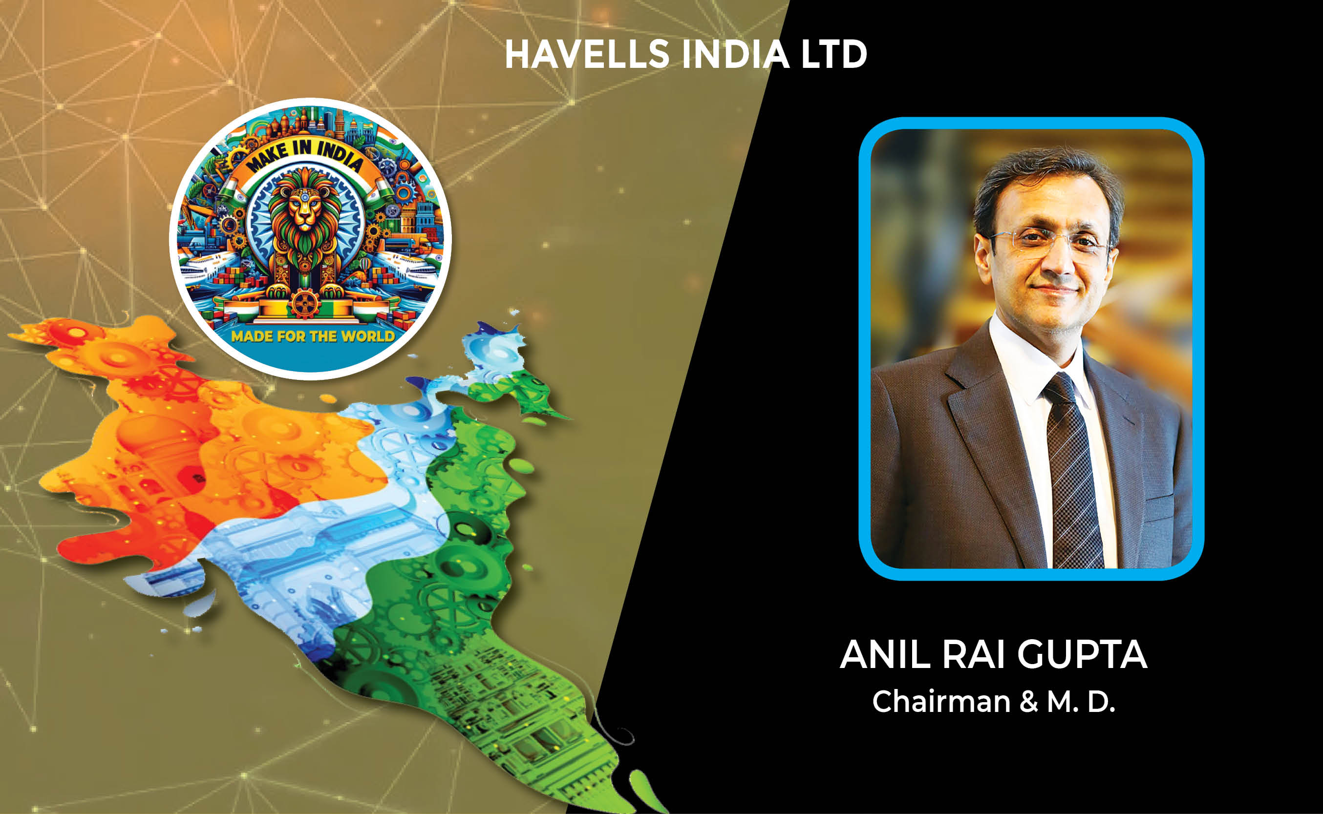
HAVELLS INDIA LTD.

PRAMA HIKVISION INDIA PRIVATE LIMITED

NETWEB TECHNOLOGIES INDIA LTD.


ICONS OF INDIA : VIJAY SHEKHAR SHARMA
Vijay Shekhar Sharma is an Indian technology entrepreneur and multimil...
Icons Of India : Girish Mathrubootham
Girish Mathrubootham is the Founder of Freshworks (previously known ...
Icons Of India : AALOK KUMAR
Aalok Kumar is celebrated as a global leader and recipient of the Peop...


RailTel Corporation of India Limited
RailTel is a leading telecommunications infrastructure provider in Ind...

IOCL - Indian Oil Corporation Ltd.
IOCL is India’s largest oil refining and marketing company ...

GeM - Government e Marketplace
GeM is to facilitate the procurement of goods and services by various ...


Indian Tech Talent Excelling The Tech World - PADMASREE WARRIOR, Founder, President & CEO - Fable
Padmasree Warrior, the Founder, President, and CEO of Fable, is revolu...

Indian Tech Talent Excelling The Tech World - Aman Bhutani, CEO, GoDaddy
Aman Bhutani, the self-taught techie and CEO of GoDaddy, oversees a co...

Indian Tech Talent Excelling The Tech World - NEAL MOHAN, CEO - Youtube
Neal Mohan, the CEO of YouTube, has a bold vision for the platform’s...


 of images belongs to the respective copyright holders