Google Maps feature will now point out contaminated zones in Mumbai
By MYBRANDBOOK

Google Maps has recently announced a new feature in the Covid-19 layer that will display demarcation of containment zones in Mumbai.
Google said it is working closely with the Brihanmumbai Municipal Corporation (BMC) for sourcing this information and will update this data regularly.
As people and businesses emerge from the lockdown, access to clear information about Covid-19 containment zones as recommended by the authorities in Mumbai will enable users to make better decisions as they move around the city.
This new feature strengthens our commitment towards working closely with the government to disseminate helpful, authoritative, and relevant information for people during the pandemic," said a company spokesperson.
Google announced a Covid-19 layer in Maps in September globally, which enables users to also access state-level Covid-19 statistics.
When a user zooms out to view an entire state, this new layer overlays the number of new COVID-19 cases (a seven-day average) indicated per 100,000 users, and the trend in the number of cases in that state.
"This feature will cover all Indian states, and is also available in several other regions globally," Google said.
To begin with, the users in Mumbai can now see Covid-19 containment zones across the city in their Google Maps app.
This will be displayed when a user in Mumbai enables the 'COVID-19 info' layer, where demarcated zones will be displayed via a shaded grey area.


Happiest Minds brings in an innovative GenAI chatbot
Happiest Minds Technologies has announced the new GenAI chatbot - ‘hAPPI...

Government mandates encryption for CCTV cameras to ensure netw
In the wake of issuing an internal advisory on securing CCTV cameras at g...

TRAI recommends allowing only Indian entities to participate i
The Telecom Regulatory Authority of India (TRAI) has recommended that onl...

Galaxy AI is available on more devices with Samsung One UI 6.1
Samsung has expanded the range of smartphones to which One UI 6.1 and Gala...


Disney+ Hotstar wins the Best OTT Platform of the year
Film Critics Guild and Group M Motion Entertainment, in collaboration with

Miss World 2024: Krystyna Pyszková of the Czech Republic wins
Krystyna Pyszková of the Czech Republic has been crowned as the 71st Miss

Brillio appoints Ashish Singh to its Board of Directors
Brillio has announced that Ashish Singh has been appointed to the company�

JSW One Platforms ropes in Dr Ranjan Pai as Independent Direct
JSW One Platforms, part of US$23 billion JSW Group has appointed Dr Ranjan


Commvault leading the next generation of data protection throu
A valued brand, Commvault reinforces the commitment to protect customer dat

ESDS commits to presenting clients with the latest technology
According to a NASSCOM report, the Indian IT industry experienced its stron

HP launches first laptop in India with Microsoft CoPilot butto
HP has launched sleek and stylish Envy x360 14 laptops in India which beco

OnePlus debut its Nord CE4 smartphone
OnePlus Nord CE4 continues the trend of attention-grabbing design with two


LENOVO GROUP LTD.

AGGRESSIVE ELECTRONICS MANUFACTURING SERVICES PVT. LTD.

IBALL WORLDWIDE PVT. LTD.

TP-LINK INDIA PVT LTD.


Technology Icons Of India 2023: Rajeev Chandrasekhar
Rajeev Chandrasekhar is the Union Minister of State for Electronics an...
Technology Icons Of India 2023: Honorary Prof. N. Balakrishnan
Prof. N. Balakrishnan is an Indian aerospace and computer scientist. H...
Technology Icons Of India 2023: Sridhar Vembu
Sridhar Vembu is an Indian billionaire business magnate and the Founde...


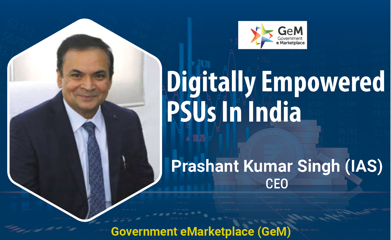
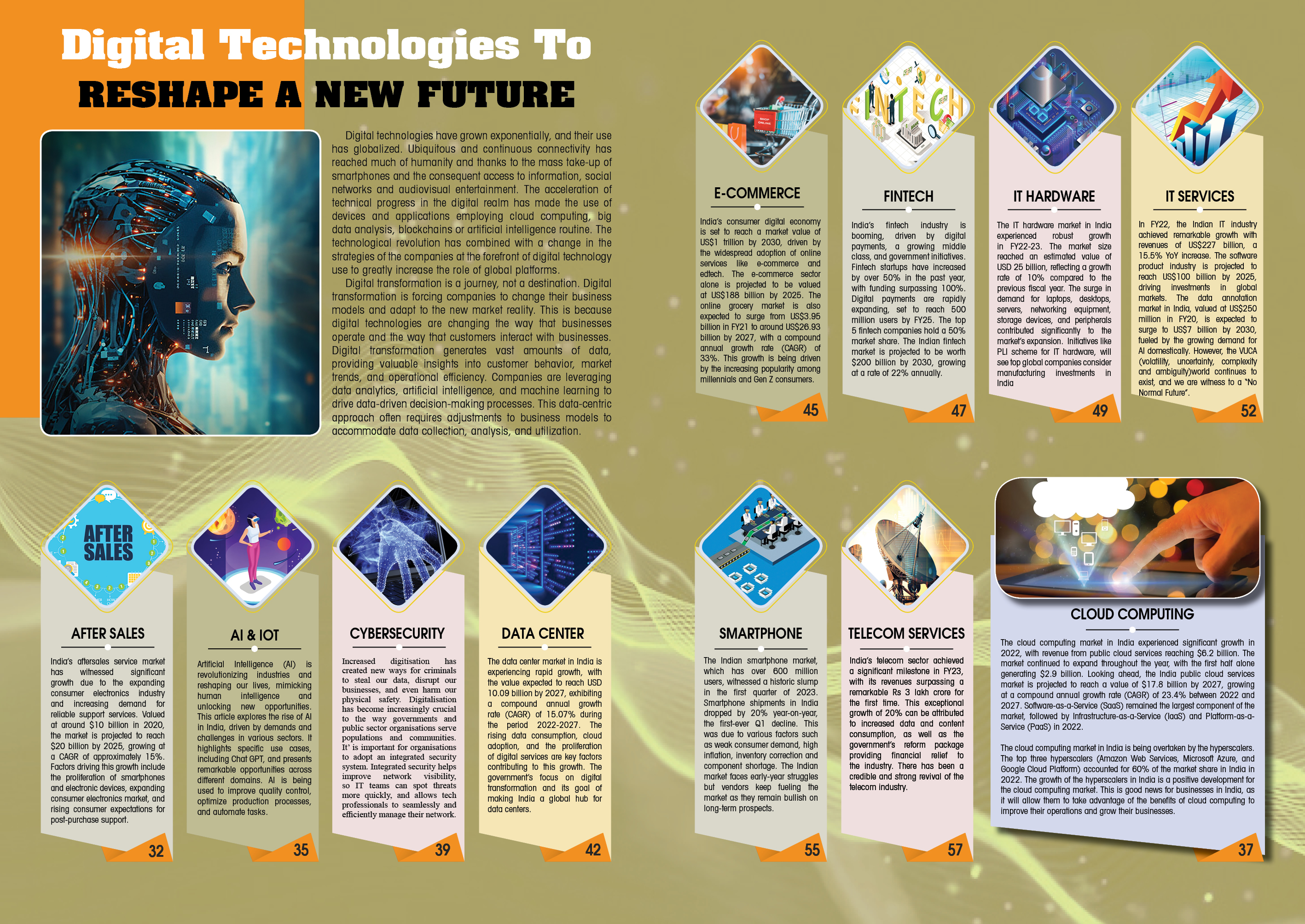
GeM maintains transparency in online procurement of goods & services
Created in a record time of five months, Government eMarketplace is a ...
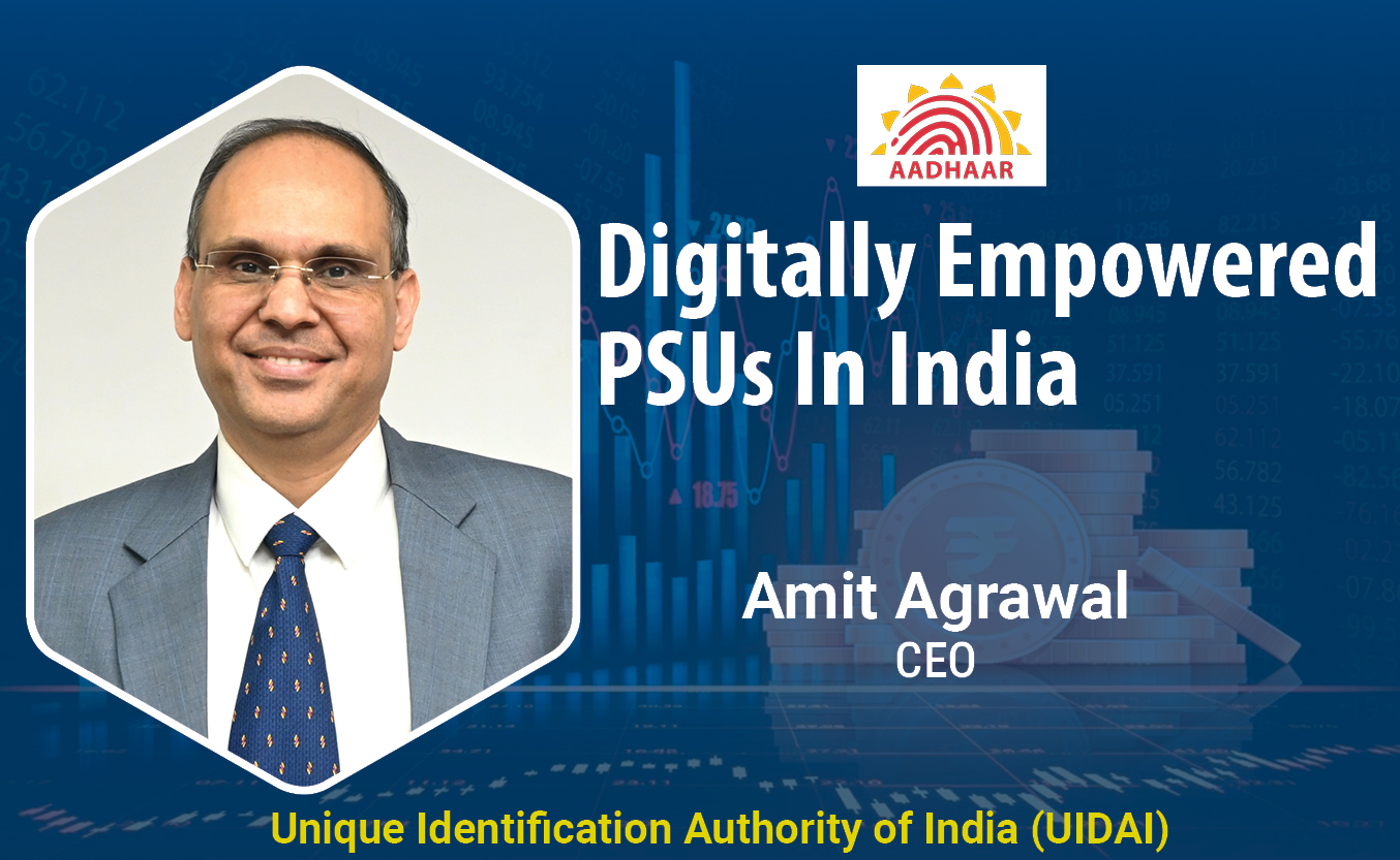
Aadhaar: Architecting the World's Largest Biometric Identity System
The Unique Identification Authority of India (UIDAI) is a statutory au...
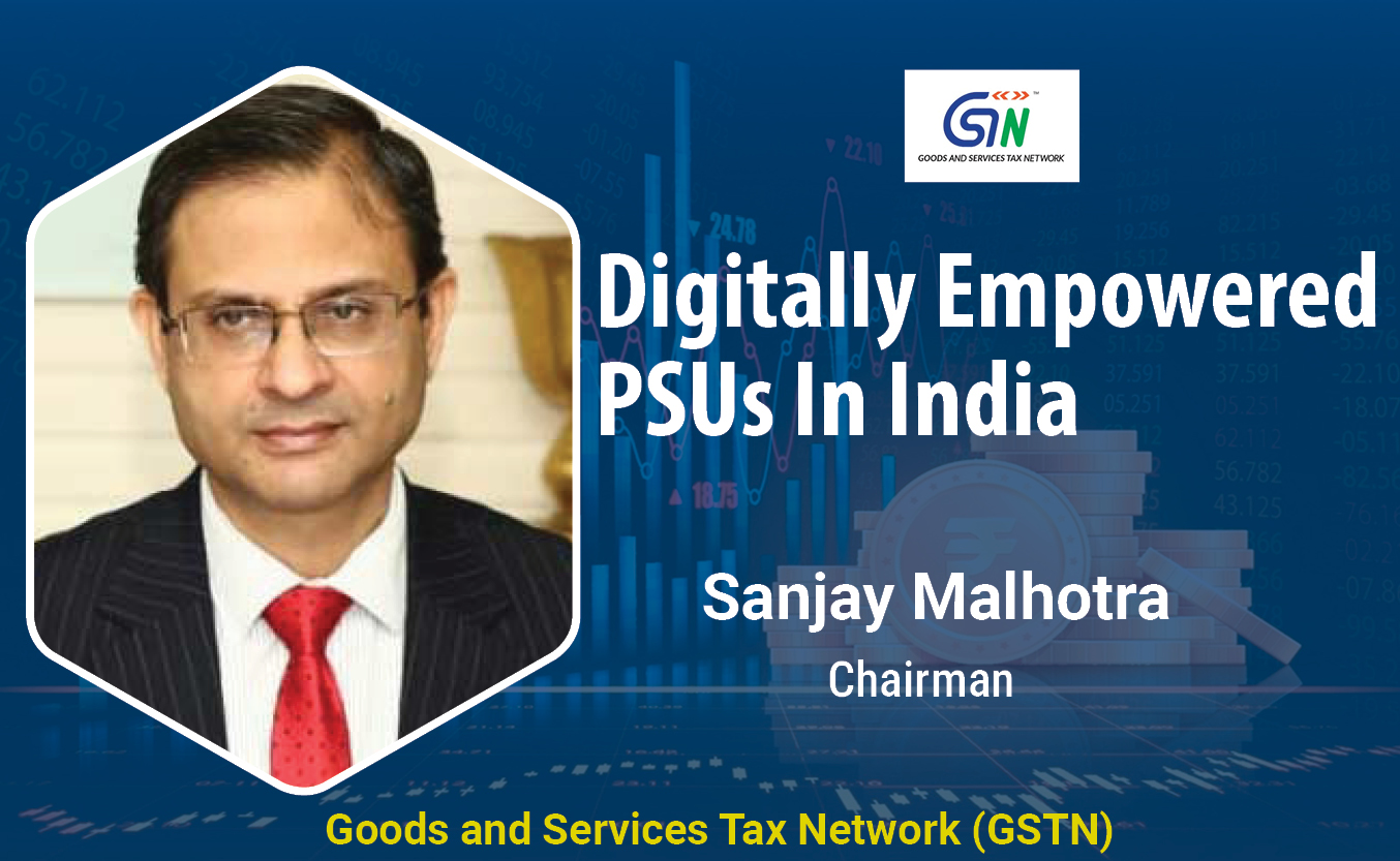
GSTN aims to integrate indirect tax ecosystem on a shared IT infrastructure
Goods and Services Tax Network (GSTN) has built Indirect Taxation plat...


EXCLUSIVE NETWORKS SALES INDIA PVT. LTD.
Exclusive Networks is a globally trusted cybersecurity specialist hel...

ACCERON INFOSOL PVT. LTD.
It is a leading value added distributor in the IT security space and h...
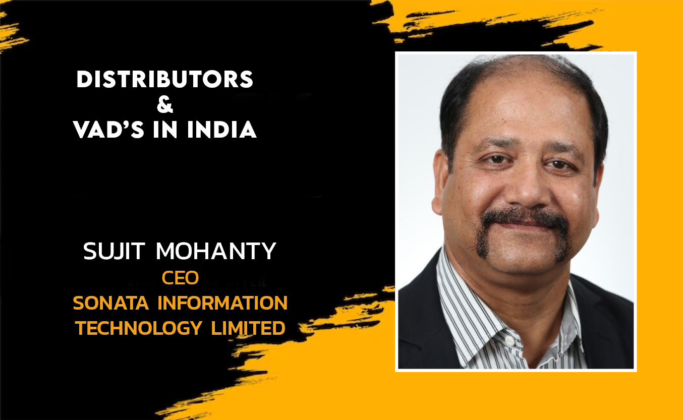
SONATA INFORMATION TECHNOLOGY LIMITED
Sonata Software Limited is a leading Modernization engineering company...